

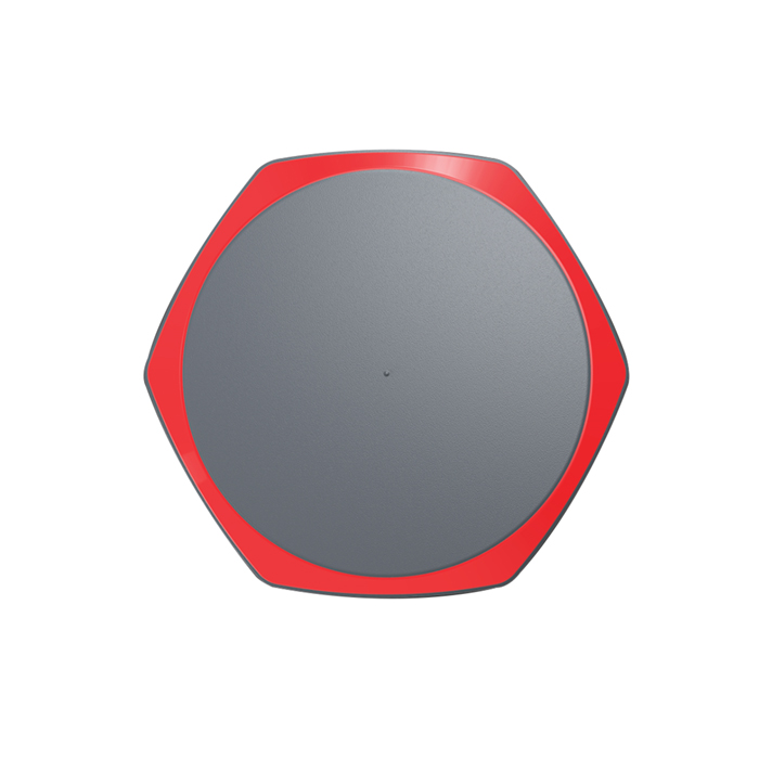

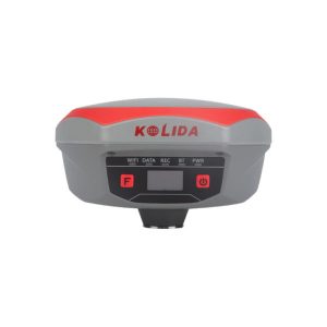
Kolida K1
220 channels GNSS Mainboard, All Constellations supported. Inertial measurement technology, OLED screen display
- The World Known GNSS Engine
Featuring a 220 channels GNSS board which is powered by Maxwell 6 Technology, K1 can track and process all the existed satellite constellations. With the utility of BEIDOU (COMPASS) signal, the data acquisition speed and GNSS signal stability are greatly improved from old generation technology.
- 10 Innovations to Increase Efficiency
More than 10 programs or functions were re-designed to make your work flow simpler and smoother, let you to work easier and comfortable, help you to get more reliable working result.
- More Durable and Rugged
K1 is fully sealed, has a IP 68 level proof. The built-in battery has 10,000 mAh capacity and can work 8 to 14 hours as RTK rover, with only one recharge.
- Work Safer and Easier
Thanks to the inertial measurement technology, K1 allows user to do a tilt survey with a maximum tilt angle of 60 °. Centering is not a must, so surveyors can stay in safe position when they measure on motorway, and don’t need to step into water .
- Fast and accurate
Not like tilt sensor, Inertial Measurement Unit is no more affected by the earth’s magnetic field and requires no correction. It can be activated and start working within only few seconds, this fast positioning will increase measurement speed by over 30%. The combination algorithm of IMU + GNSS can get fixed solution faster and keep measurement results more stable, accuracy is down to 2cm.
- Measure where others can’t
Corner of wall? Points underneath pipe? Points occupied by car? These targets are no more accessible..
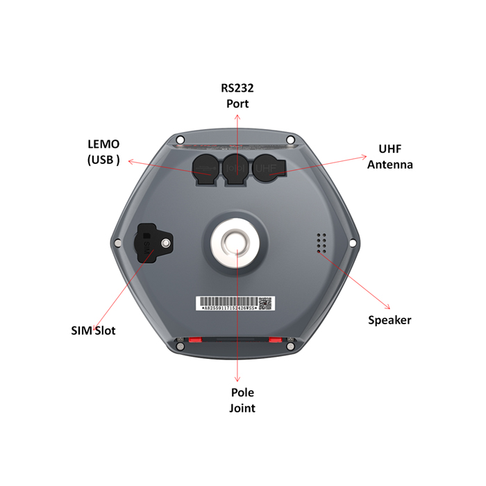
- Long Range Radio Link
SDL400 built-in radio can send signal as far as 7 km in urban area, 8 km in suburban. The maximum coverage is up to 200 sq.km, suitable to have multiple rovers work simultaneously.
- Barrier-Free Measurement
In difficult environment you may lost connection with base station or VRS network. Don’t be disappointed, you can choose from 3 creative work modes to continue surveying without interruption. (Repeater/ Router/ Mobile Refenrence Station)
Additional information
| Weight | 1.33 kg |
|---|---|
| Dimensions | 163 × 163 × 960 mm |
Specification
| Satellite Tracking Ability | ||
| Channels220 | ConstellationGPS, GLONASS, BEIDOU, GALILEO, SBAS, QZSS | MSS L-BandFunction preserved |
| Positioning Output Rate1Hz-50Hz | Initialization Time<10s | |
| Positioning Precision | ||
| UHF RTKHorizontal ±8mm + 1 ppmVertical ±15mm + 1ppm | Network RTKHorizontal ±8mm + 0.5ppmVertical ±15mm+0.5ppm | RTXHorizontal ±2cmVertical ±5cm |
| Static and Fast StaticHorizontal ±2.5mm + 0.5ppmVertical ±5mm + 0.5ppm | RTK Initialization Time
2-8s |
|
| User Interaction | ||
| Operation SystemLinux | Screen Display1 inch OLED |
WifiYes |
| Voice GuideYes | Data Storage
8GB internal; up to 32GB external. |
Web UIYes |
| Working Capability | ||
| RadioBuilt-in emitting and receivingTypical working range 1-8km | Tilt Survey Inertial Measurement |
Electronic BubbleYes |
| Endurance>14 hours (static mode), >7 hours (internal UHF base mode), 8 to14 hours (rover mode) | OTG Function (Field Download)
yes |
Other Function
Mobile Reference Station, Repeater, Router |
Brochure Download
You must be logged in to post a review.
Reviews
There are no reviews yet.