LiDAR SZT-R1000
● Multi-platform (Helicopter/SUV/ATV/Vessel) applications
● Point cloud density up to 550,000 points per second
● Accuracy control down to 5mm, applicable for 1:500 mapping
● Working range up to 920m with 330-degree FOV
Call for Pricing.
Features


HARDWARE

Additional information
| Weight | 5.99 kg |
|---|---|
| Dimensions | 515 × 248 × 310 mm |
Specification
| LiDAR System | Laser Channels | — |
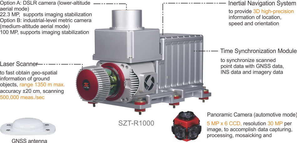
| Laser Range | max. 1350 m | |
| Field of View | 0°~ 330° | |
| Angular Resolution | 0.001° | |
| Max. Means Rate | up to 500,000 meas./sec | |
| Accuracy | Automotive: H:2 cm/V:3 cm (≤50 m); Helicopter: H:15 cm/V:8 cm (500 m) |
|
| Camera Effective Pixels | 22.3 MP (DSLR); 30 MP (panorama camera, see details in Part III below) | |
| Recommended scanning height AGL | — | |
| Net Weight | 5.99 kg | |
| Dimensions | 515 x 248 x 310 mm | |
| Input Voltage | 11-32V DC | |
| Power Consumption | 85 W | |
| Data Storage | — | |
| Part I: Laser Scanner | Type | — |
| Wavelength | — | |
| Eye Safety Class | laser class 1 | |
| Laser Product Classification | — | |
| Laser Pulse Repetition Rate | 500 kHz | |
| Range Accuracy | — | |
| Accuracy/ Precision | 10 mm / 5 mm | |
| Rotation Rate | — | |
| Scan Speed | — | |
| Multi-echo effect | — | |
| Data Storage | 8 to 32 GB | |
| Environment Protection | IP64 | |
| Temperature | operating: 0° to 45°C; storage: -20° to 50°C | |
| Part II: POS System | Type | 0.05°per hour |
| Gyroscopes Bias in-run Stability | — | |
| Gyroscopes Measurement Range | — | |
| Accelerometers Measurement Range | — | |
| Post Processing Roll/Pitch Accuracy | — | |
| Post Processing Heading Accuracy | 0.017° | |
| Post Processing Position H/V Accuracy | 0.01/0.02 m | |
| Post Processing Velocity H/V Accuracy | 0.02/0.01 m/s | |
| Data Sampling Rate | POS: 125 Hz; Location: 5 Hz | |
| Internal Memory | SSD 240 GB |
Note: all information above is subject to change without any prior notice.
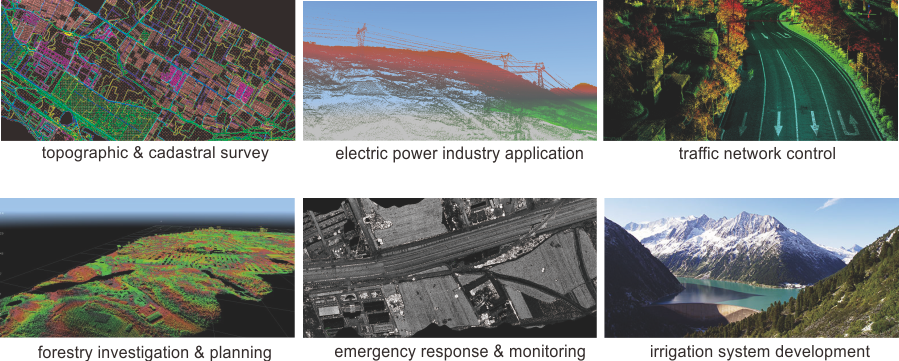
Applications
APPLICATIONS

Brochure Download
Download Brochure
You must be logged in to post a review.


Reviews
There are no reviews yet.