CAD Mapping Software CASS
$2,200
- CAD: $3,043.26
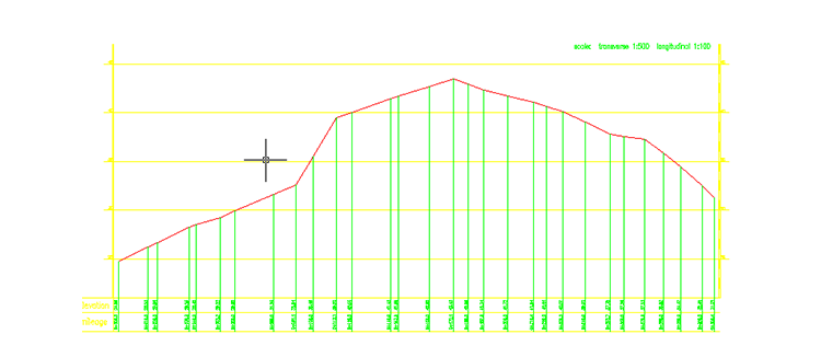
- CASS is a user-friendly mapping software, which helps you with downloading, importing and processing measurement data to generate desired results. The powerful AutoCAD based feature makes CASS very convenient for graphic designing and processing. It is suitable for topographic mapping and editing, earthwork calculation, section mapping, and road curve designing.
For topography function only – Call for Promotion Pricing
Features
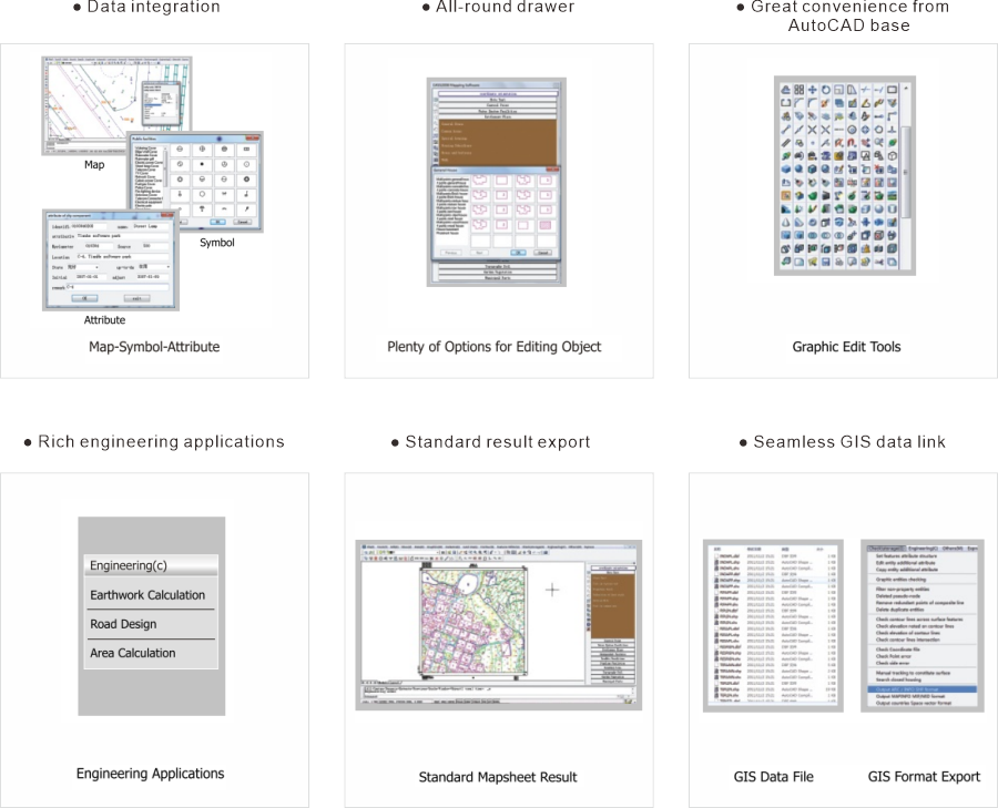
● Rapid and convenient topographic map drawing
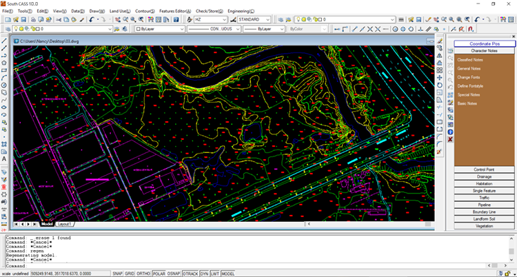
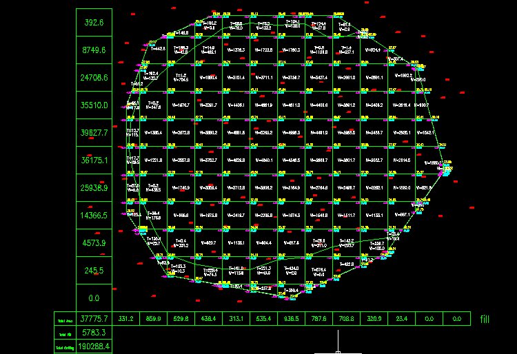
● High-precision earthwork calculation with simple and verifiable methods
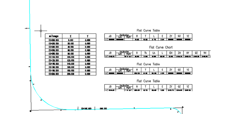
● Fast Road curve elements file importing, drawing and processing
● Creating highly presentable section maps
Brochure Download
Download Brochure
You must be logged in to post a review.


Reviews
There are no reviews yet.