

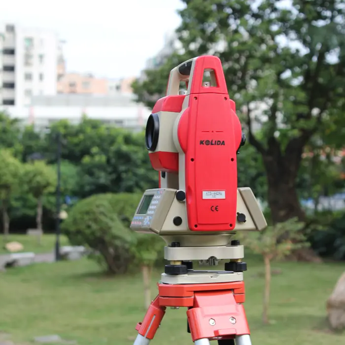
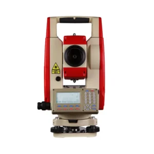
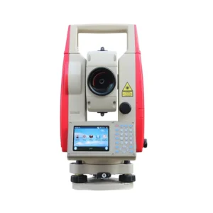
Kolida KTS-442 Reflectorless
This reliable, powerful, cost efficient Manual Total Station is the best seller of KOLIDA total station family.
LONG DISTANCE MEASUREMENT - Thanks to the high efficiency EDM, 442 features long distance measurements: 600/800m in reflectorless mode and up to 5000m using a single prism, with millimeter accuracy.
The fastest distance measuring speed is down to 0.1 to 0.3 second, with 2mm accuracy, makes any job extremely cost effective and reliable.
The 4Mb internal memory is able to store 40,000 points, the SD card up to 32 Gb can store a huge amount of data. Users don't need to worry about memory space. Easily operation on data adding, deleting, modifying, transferring.Total station can be recognized as a flash memory disk by PC.
IP55 dustproof/waterproof rating ensures 442's high reliability in all weather conditions and allows working even under very humid conditions and where sand and dust are present.
The high performance telescope, featurs 30X magnification and illuminated reticle, provide the best sighting quality in any lighting condition.
Various of surveying programs onboard allow surveyors to complete their tasks directly in the field: angle offset, angle repetition, dual-distance offset, coordinate measurement, REM, MLM, Staking out, Road Design, area calculation, reference line, point projection, setting out Arc...
BLUETOOTH - External device can be linked to total station, through the Bluetooth™ wireless connection. Then users can use their mapping software (Windows Mobile or Android, Field Genius or SurvX) with 442 total station. (this function is only available with the instruments which are produced after April 2019)
Additional information
| Weight | 5.7 kg |
|---|---|
| Dimensions | 160 × 150 × 330 mm |
Specification
| Distance Measurement | ||
| Measurement Range1 prism: 5000m3 prism: 8000-10000mReflectorless: 600/800m | AccuracyPrism: ±(2+2ppmx D)mmReflectorless: ±(3+2ppmx D)mm | Measuring Time0.1 – 1.5s |
| Atmosphere CorrectionManual Input | Prism Constant CorrectionManual Input | |
| Angle Measurement | ||
| Measurement MeAbsolute Encoding | Accuracy2″ | Minimum Reading1″/ 5″ optional |
| CompensatorDual Axis Liquid-electricRange ±4′, Accuracy 1″ | ||
| User Interaction | ||
| Operation SystemDOS | Color ScreenN/A | Touch ScreenN/A |
| KeyboardFull Alphanumeric keys with backlight | Trigger KeyN/A | Bluetooth & wifiBluetooth |
| Internal Storage4Mb, 40,000 points | External Storage up to 32GB SD card | |
| Working Capability | ||
| ProgramCoordinate measurement, setout, area, road design… | Graphic Display N/A | Laser Pointer & Laser PlummetYes |
| Endurance12 hours | Setout Guide Light N/A | Camera Function N/A |
Brochure Download
You must be logged in to post a review.
Related products


Whether you are conducting land surveying, construction layout, mapping, or managing complex geospatial data, Geomatics Gear provides reliable tools that help you maintain accuracy and efficiency on every project. Our solutions are built to perform in challenging environments, ensuring consistent results when it matters most.
In addition to top-tier equipment, our team offers knowledgeable support to help you choose the right tools for your workflow. With Geomatics Gear, you gain access to trusted technology and expertise that keeps your projects moving forward with confidence.
Reviews
There are no reviews yet.